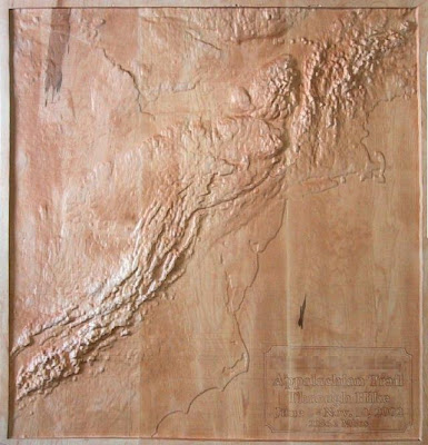
How about a map made of wood.
Check is out, a relief map carved in wood. This particular map shows the appalachian mountain range of the eastern U.S. It's kinda like the east's rocky mountains, but much shorter.
The map is suppose to depict the appalachian trail, which makes it's way from Georgia (in the south) to Maine (in the north), however, the trail could be better labeled (maybe a wood burning instrument), as well as state boundaries.
I would recommend viewing this map with a similar view from GoogleEarth. Some prominent land features: Cape Hatteras, and Cape Lookout (North Carolina), and Cape Cod (Mass.).

Source: http://www.cbsled.com/relief_maps.html

No comments:
Post a Comment